

Habomai Islands (2)
カテゴリーページ
Click Link, Image or Button to View Category Posts
 情報追加
情報追加
 ホームページ >
 Homepage >
歯舞諸島(はぼまいぐんとう)
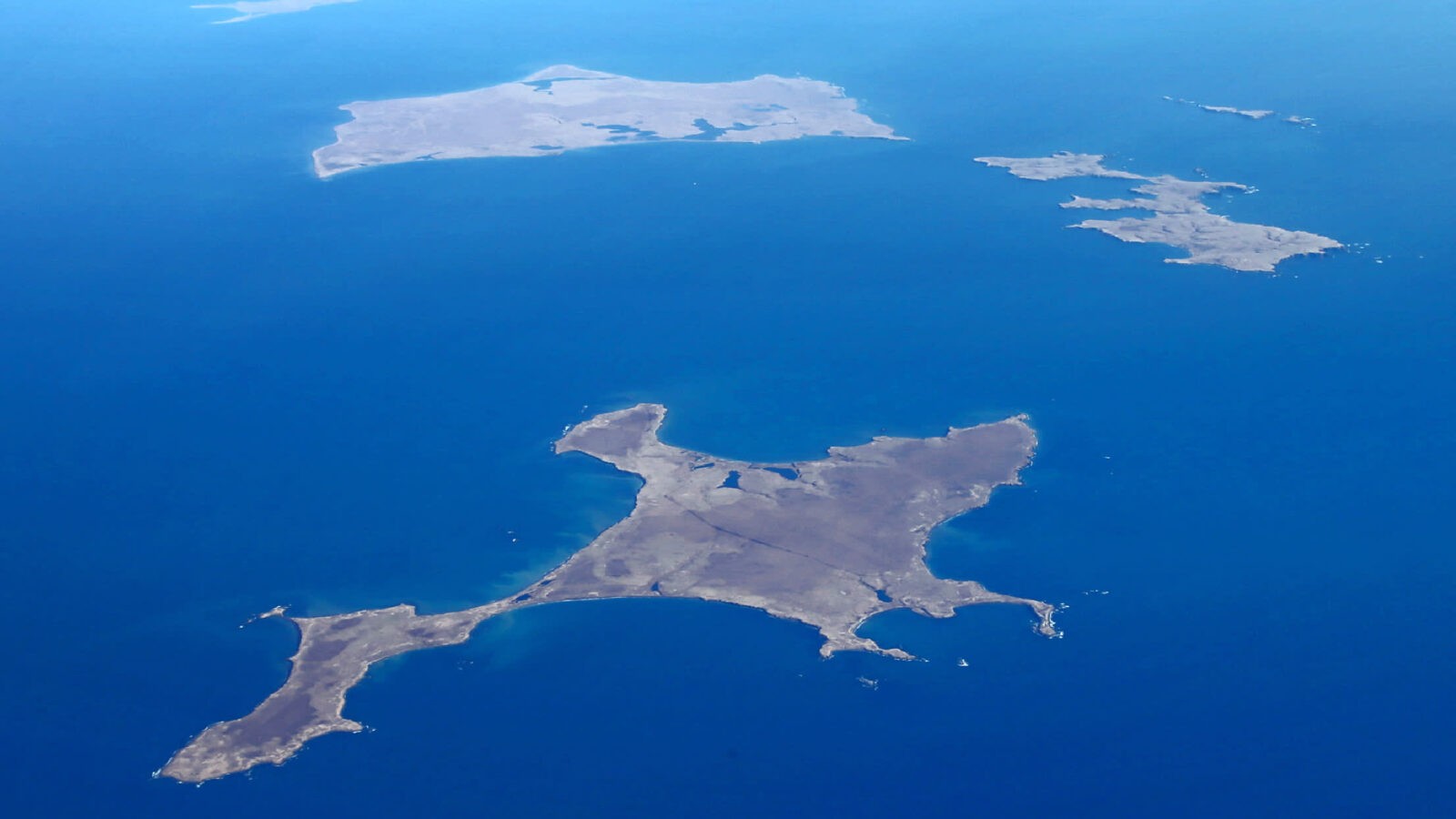
島の一覧 島名 Japanese Name Russian Name Ainu Name Area km2 Highest point m Latitude N Longitude E Distance from Cape Nosappu km 色丹島 Shikotan 色丹島 しこたんとう Shikotan tō Остров Шикотан Si-kotan (Big village) 255 412.6 43°47' 146°44' 73.3 principal marine products being cod, crab, and kelp GPS: 43.80309051967712, 146.74656631042993 Spangberg Channel(Habomai islands are shown below.) Shikotan Channel 海馬島 - ... Read moreHabomai Islands (Visa Needed)
List of islands Island Japanese Name Russian Name Ainu Name Area km2 Highest point m Latitude N Longitude E Distance from Cape Nosappu km Shikotan Shikotan 色丹島 しこたんとう Shikotan tō Остров Шикотан Si-kotan (Big village) 255 412.6 43°47' 146°44' 73.3 principal marine products being cod, crab, and kelp GPS: 43.80309051967712, 146.74656631042993 Spangberg Channel(Habomai islands are shown below.) Shikotan Channel ... Read more応用並べ替えフィルターSearch Filter Applied:
 Contact Us