カテゴリーページ
Click Link, Image or Button to View Category Posts
Shikotan Island (1)
 情報追加
情報追加
 ホームページ >
 Homepage >
Shikotan Island (Visa Needed)
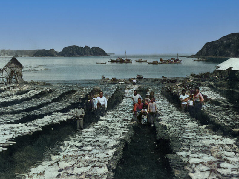
GPS: 43.794542355841166, 146.7470546046475 The total land area of Shikotan is 225 km². The island is hilly, averaging 300 metres in elevation. The shores of the island are very indented and covered with oceanic meadows. The highest altitude is 412 m. The island is formed by the volcanic rock and sandstone of the Upper Cretaceous and ... Read more応用並べ替えフィルターSearch Filter Applied:
 Contact Us