モバイル機器の場合:2本指で画面をスクロールとズーム可能
On mobile devices: Use 2 fingers to pan & zoom
モバイル機器の場合:2本指で画面をスクロールとズーム可能
On mobile devices: Use 2 fingers to pan & zoom
GPS: 43.794542355841166, 146.7470546046475
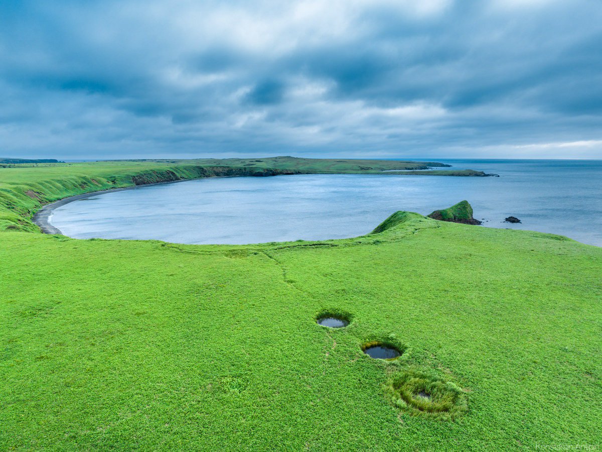
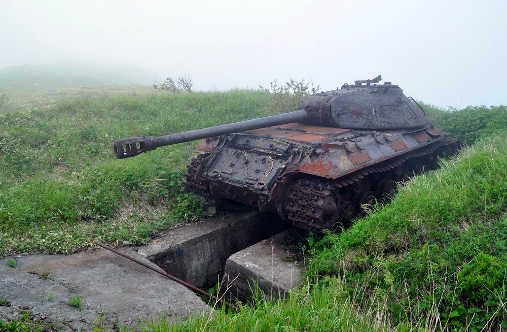
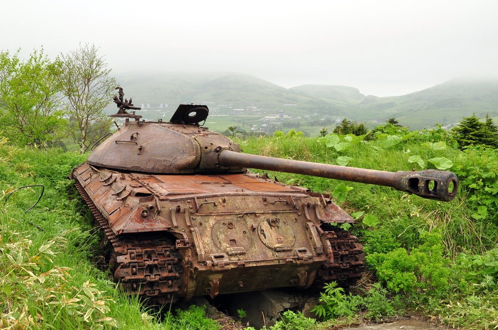
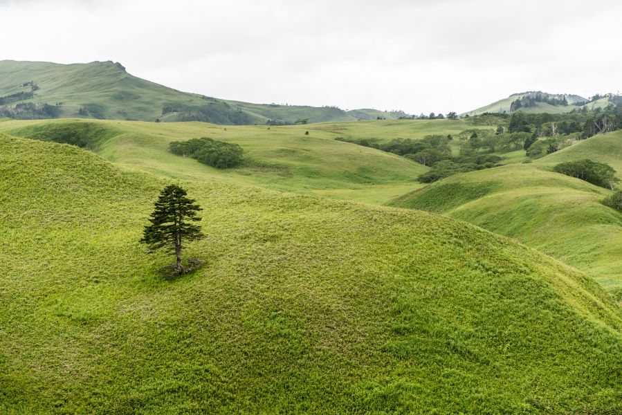
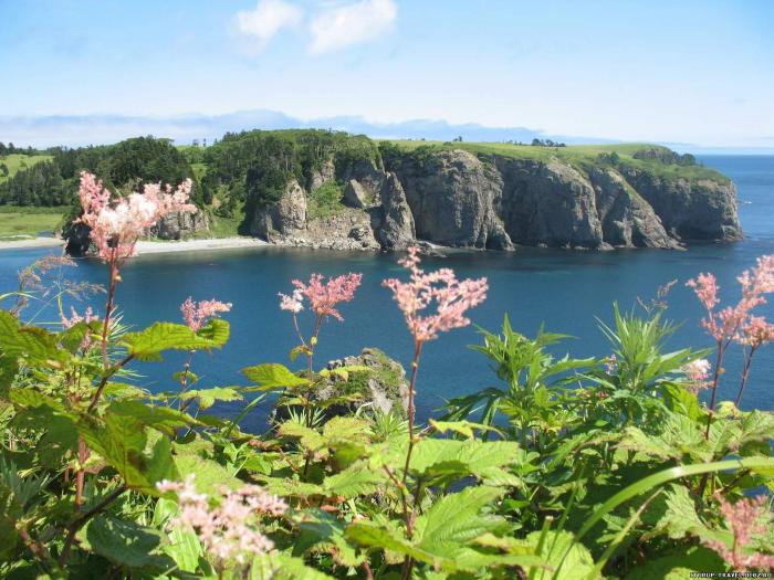
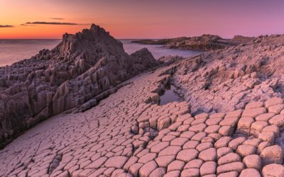
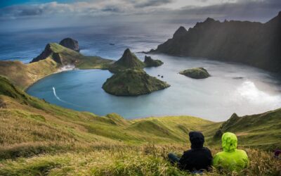
The total land area of Shikotan is 225 km². The island is hilly, averaging 300 metres in elevation. The shores of the island are very indented and covered with oceanic meadows. The highest altitude is 412 m. The island is formed by the volcanic rock and sandstone of the Upper Cretaceous and Cenozoic periods. There are two extinct volcanoes on Shikotan: Mount Tomari and Mount Notoro.
Shikotan's vegetation consists mostly of Sakhalin fir, larch, deciduous trees, bamboo underbrush, and juniper brushwood.
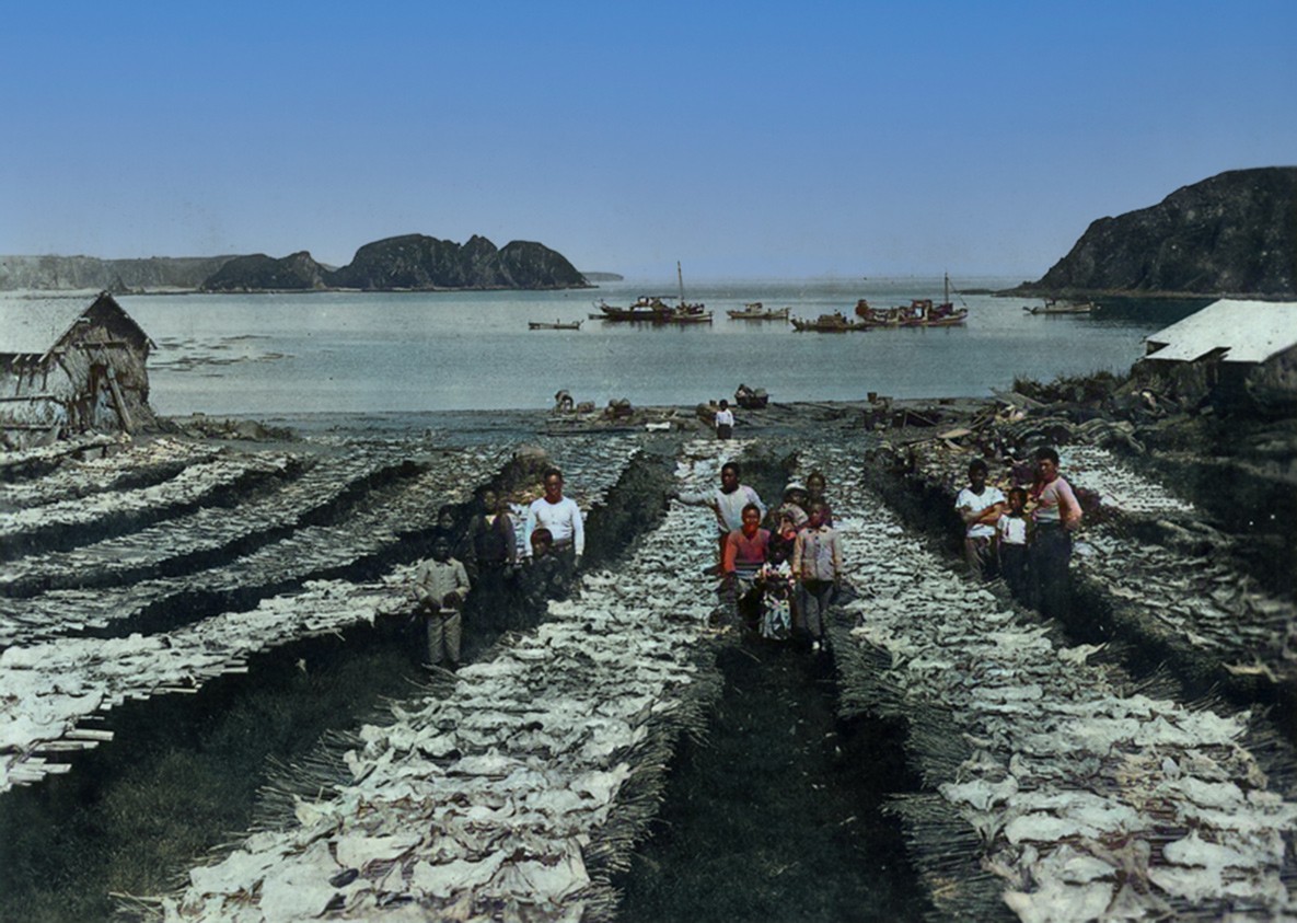
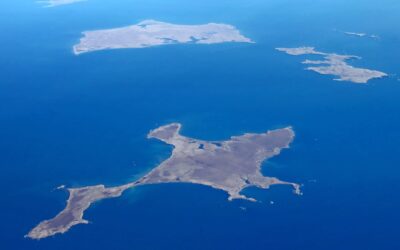
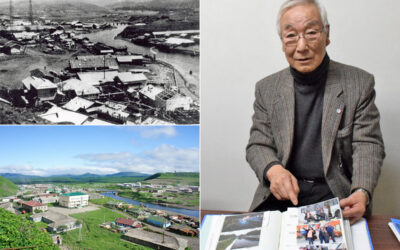
There are two villages: Malokurilskoye, formerly Shikotan (色丹); and Krabozavodskoye, formerly Anama (穴澗) Wikipedia

Islands / On Islands Around Hokkaido

ログインしているミートミー北海道ユーザーFor Logged In Meet Me Users
ログアウト中。
この機能を使用するにはログインしてください。Logged Out
この機能を使用するにはログインしてください。Logged Out
 Contact Us
 Get Listed!
 Japanese
 Privacy Policy