モバイル機器の場合:2本指で画面をスクロールとズーム可能
On mobile devices: Use 2 fingers to pan & zoom
モバイル機器の場合:2本指で画面をスクロールとズーム可能
On mobile devices: Use 2 fingers to pan & zoom
GPS: 43.794542355841166, 146.7470546046475
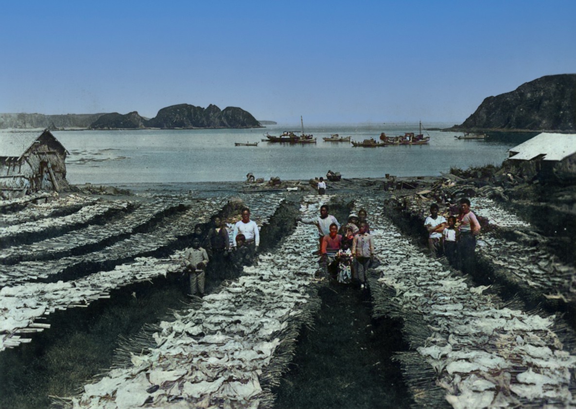
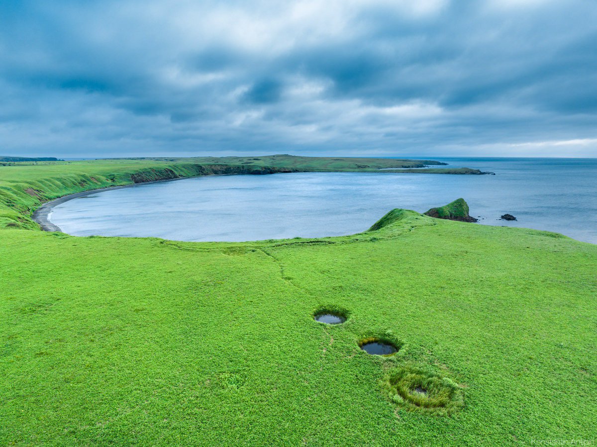
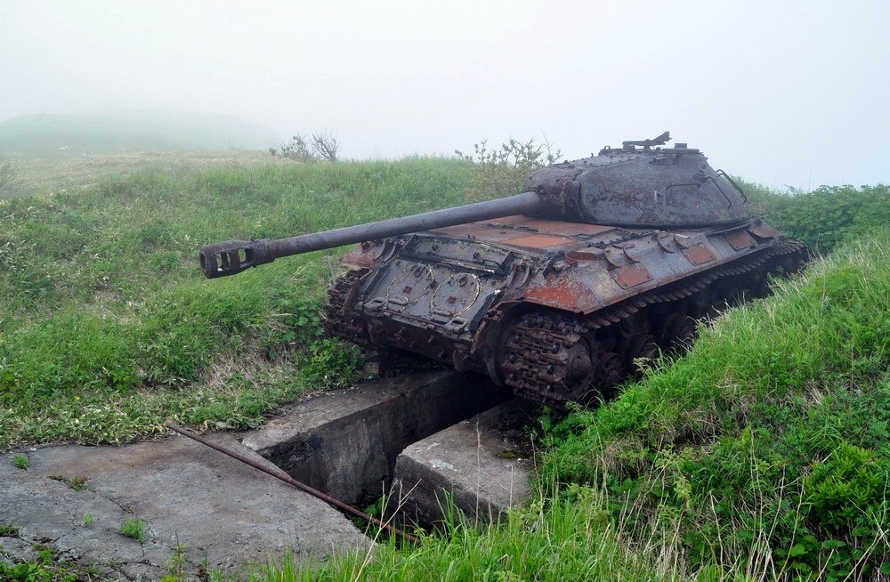
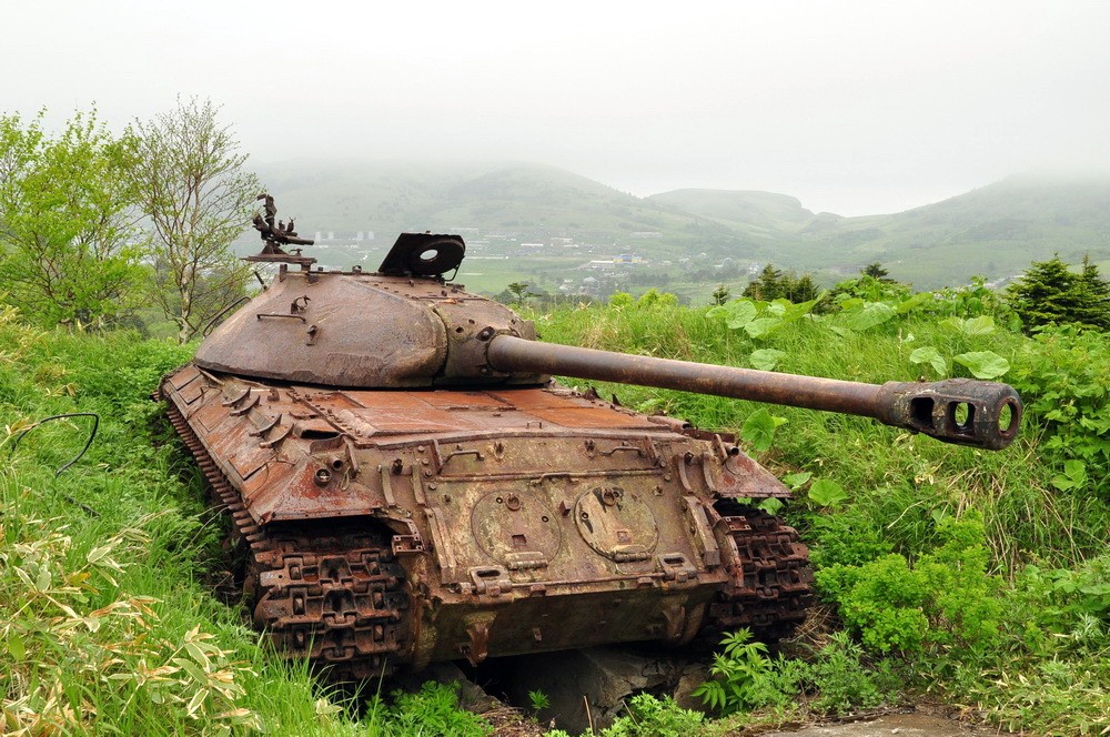
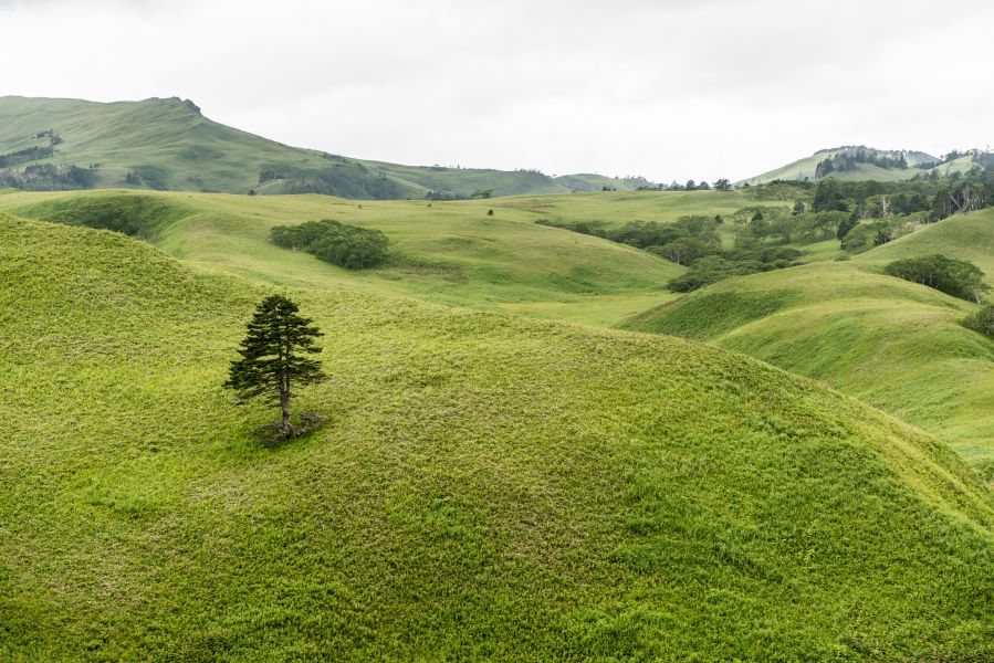
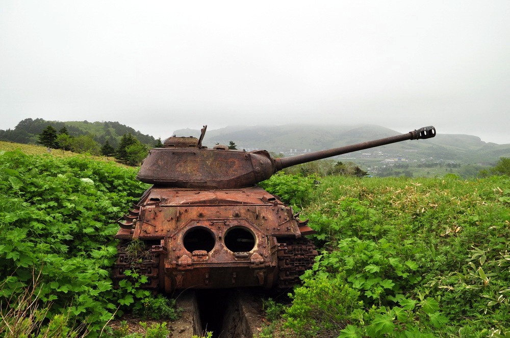
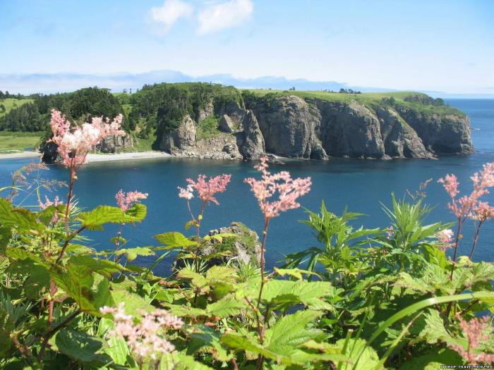
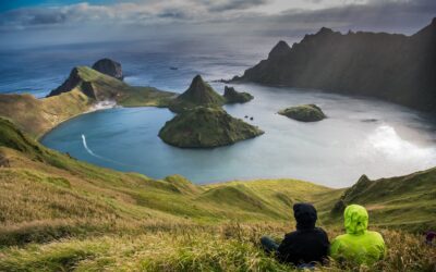
色丹の総面積は225km²。島は丘陵地帯で、平均標高は300メートルです。島の海岸は非常にへこんでおり、海の草原で覆われています。最高標高は412m。島は白亜紀上部から新生代にかけての火山岩と砂岩で形成されています。色丹島には2つの死火山がある: 泊山と能取山である。
植生は、サハリンモミ、カラマツ、落葉樹、竹の下草、ジュニパーブラシが主である。
2つの村がある: マロクリルスコエ(旧色丹)、クラボザボドスコエ(旧穴澗)Wikipedia

東の島々
ログインしているミートミー北海道ユーザーFor Logged In Meet Me Users
ログアウト中。
この機能を使用するにはログインしてください。Logged Out
この機能を使用するにはログインしてください。Logged Out
 掲載内容に誤りや修正が必要な箇所があれば、
 English >
 あなたもここに追加してみませんか?