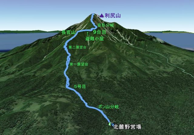
ポン山・甘露泉水コース
場所: 〒097-0100 北海道利尻郡利尻富士町
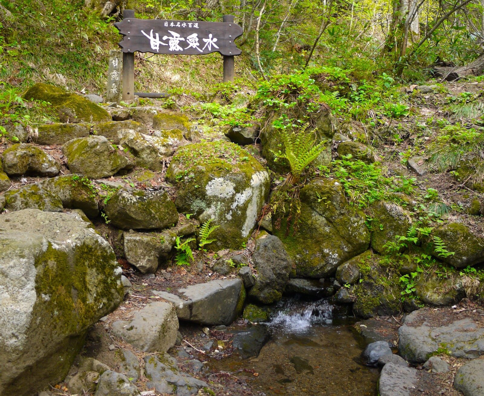
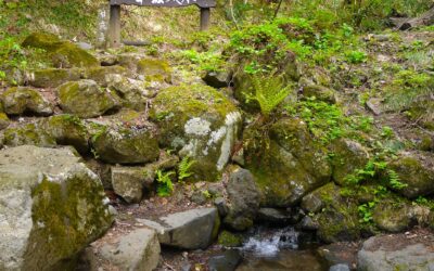
甘露泉水 /かんろせんすい
コース概要
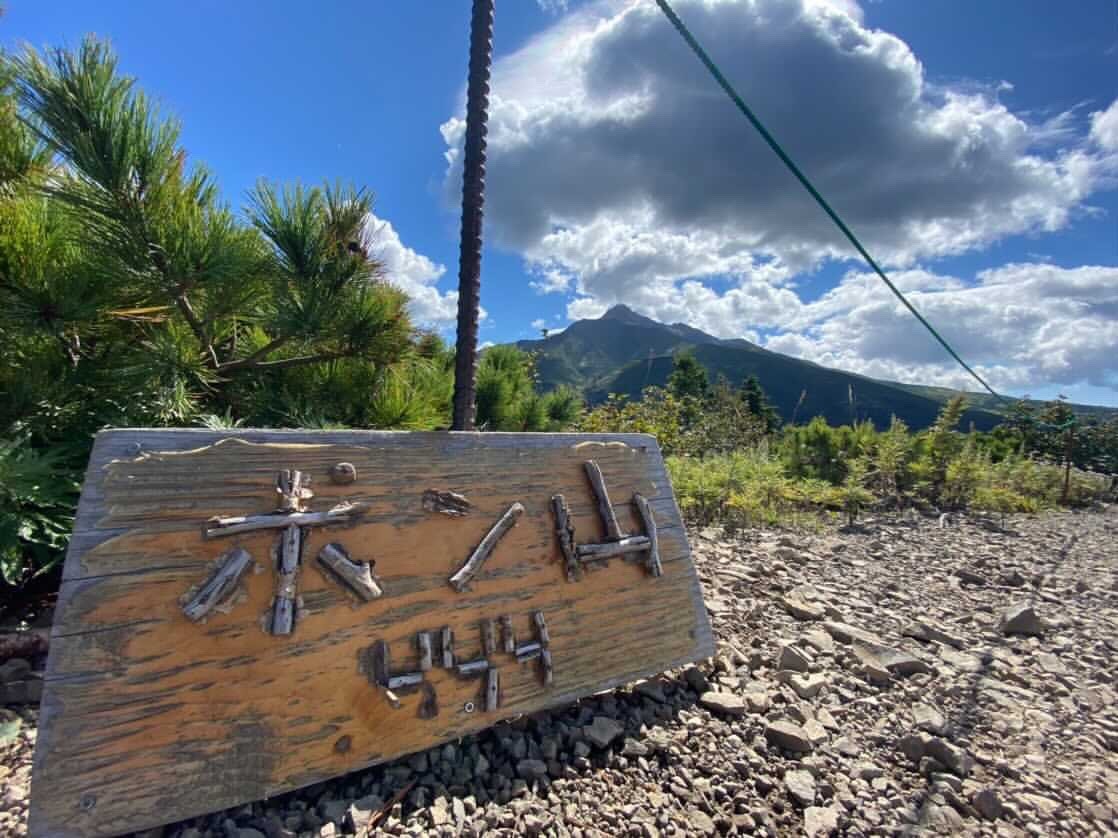
登山口(北麓野営場)から甘露泉水を通り、姫沼分岐点よりポン山コースへ向かい、小ポン山・ポン山をめぐるコース。標高444mのポン山からの景色は圧巻です。
コースタイム: 約1時間15分(登りのみ)
モバイル機器の場合:2本指で画面をスクロールとズーム可能
On mobile devices: Use 2 fingers to pan & zoom
モバイル機器の場合:2本指で画面をスクロールとズーム可能
On mobile devices: Use 2 fingers to pan & zoom
GPS: 45.223421819547774, 141.22099117859278
宗谷総合振興局

上川総合振興局


留萌振興局
ログインしているミートミー北海道ユーザーFor Logged In Meet Me Users
ログアウト中。
この機能を使用するにはログインしてください。Logged Out
この機能を使用するにはログインしてください。Logged Out
 掲載内容に誤りや修正が必要な箇所があれば、
 English >
 あなたもここに追加してみませんか?