カテゴリーページ
Click Link, Image or Button to View Category Posts
Hopporyoudo (3)
 情報追加
情報追加
 ホームページ >
 Homepage >
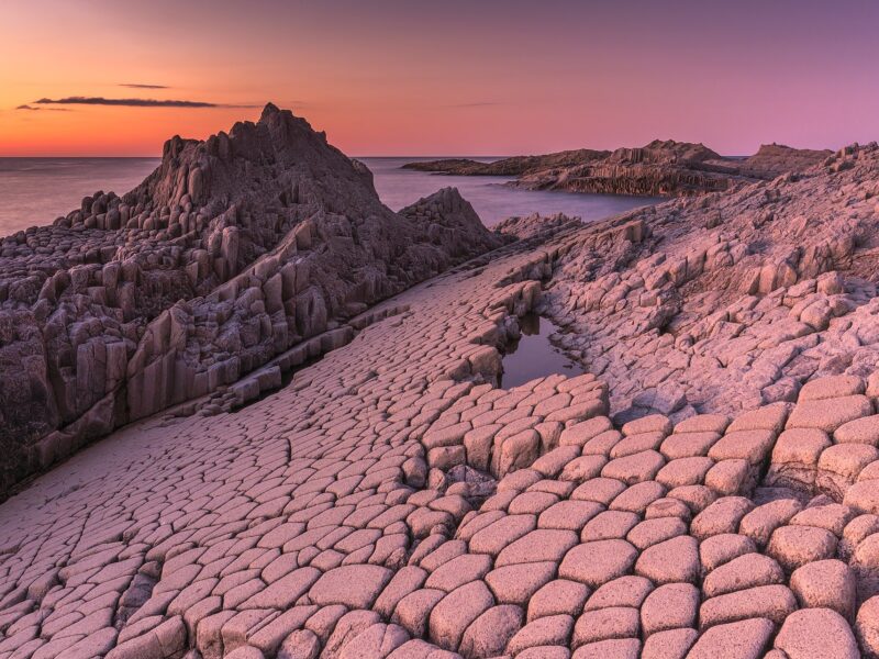
Cape Stolbchaty, Kunashir Island (Visa Needed)
Cape Stolbchaty on the eastern side of the Kunashir Island. GPS: 44.02542696671918, 145.6765122403166 Nature Garo Falls Onuma Park Kamui Rock, Cape Kamui Sankakuyama Nijukken Road / Hokkaido Shimamui Coast, Shakotan Toyokoro Jewel Ice Ginko Avenue, Hokkudai (October/November) Shichiku Garden, Biei, Obihiro Karurusu Ice Caves, Noboribetsu - Ice Bamboo Nakajima Park, Sapporo, Hokkaido, Japan Urahoro Forest Ubaranai ... Read more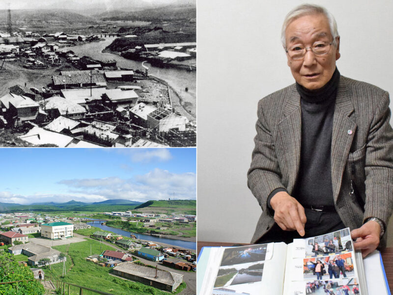
Etorofu Island, Shana Village (Visa Needed)
(Upper left) Shana Village (択捉島紗那村) in pre-war days. (Lower left) Current view of the same photo as above. (Right) Mr. Tadaaki Iwasaki (岩崎忠明), a former islander GPS: 45.229253865539874, 147.87380375356503 Late spring when all the flowers are in bloom Mr. Tadaaki Iwasaki, 82, who now lives in Sapporo, was born and raised in Shana Village on ... Read more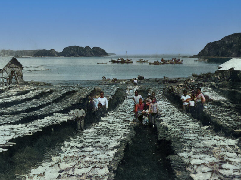
Shikotan Island (Visa Needed)
GPS: 43.794542355841166, 146.7470546046475 The total land area of Shikotan is 225 km². The island is hilly, averaging 300 metres in elevation. The shores of the island are very indented and covered with oceanic meadows. The highest altitude is 412 m. The island is formed by the volcanic rock and sandstone of the Upper Cretaceous and ... Read more応用並べ替えフィルターSearch Filter Applied:
 Contact Us