Hokkaido : 
![]() Japanese >
Japanese >
SEARCH BY AREA SEARCH BY CATEGORY
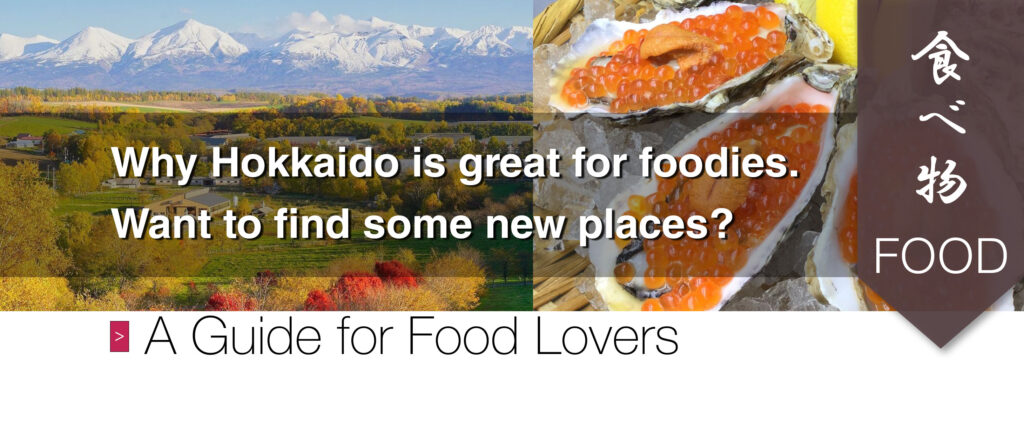
This website is to promote local tourism, environmentally friendly businesses, support sustainable development and also show people where they can go to enjoy their everyday lives.
❤️ Support the Places You Love ❤️
Click on any part of the map to view places in that area.
The number indicates how many posts are in each area.
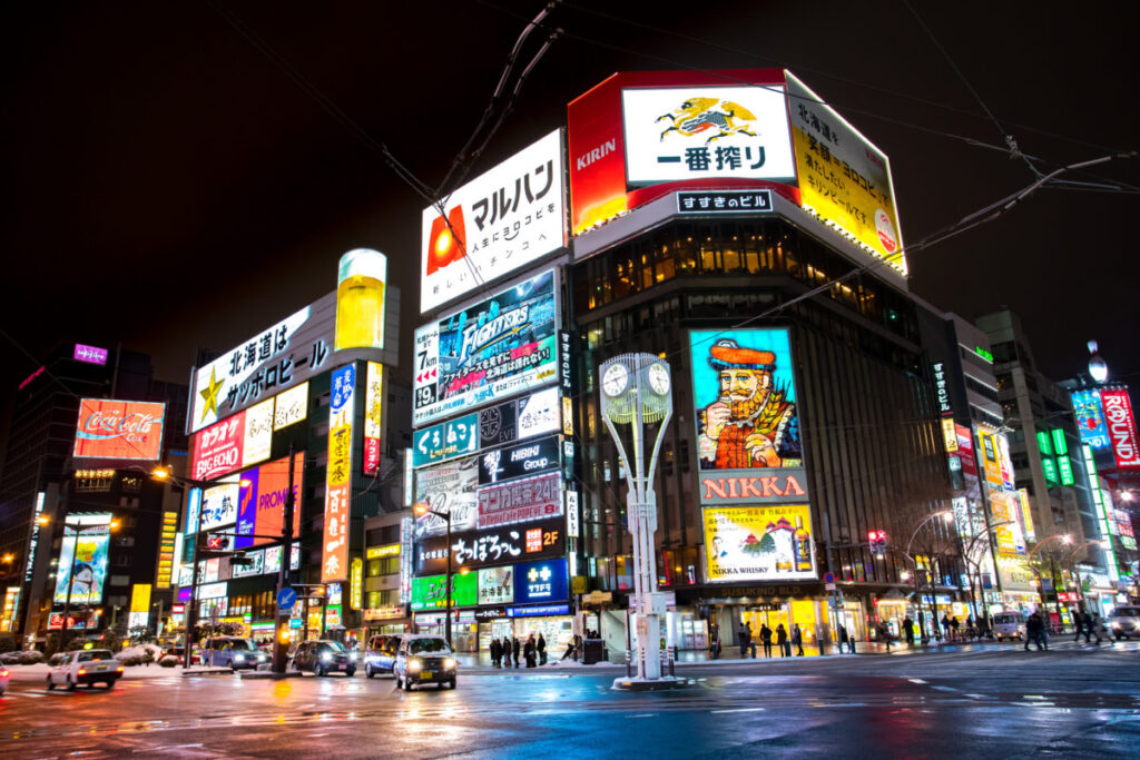
Sapporo (392) Around Sapporo Station (59) Odori (60) Around Odori Park (119) Susukino (71) Around Susukino (145) Maruyama (18) Around Maruyama (28) Around Sapporo Factory (13) Tanukikouji (25) Around Tanukikouji (91) North Ward (32) East Ward (19) South Ward (16) West Ward (7) Central Ward (215)
Abashiri (10) Asahikawa (19) Asari (1) Bibai (1) Biei (4) Esashi (1) Hakodate (14) Kuromatsunai (1) Kutchan (16) Lake Toya (6) Niseko (24) Noboribetsu (9) Yagishiri Island (1) Yoichi (5) Islands Around Hokkaido (10)
Places of Interest (64) Historic Landmarks (39) Ainu Culture (11) Nature (37) Animals (17) Shrines (7) Snow Festivals (9)

Activities (10) Hiking (13) Skiing (14) Tours (7) Yoga (2) Fitness (17) Ski Lessons (8)
Cinemas (3) Cultural Facilities (15) Hot Springs (40) Winter Resorts (13) Pet-friendly (7) Parks (19) Beaches (11) Lakes (11) Rivers (4) Non-smoking (49) Smoking (22)
Ramen (23) Soba (11) Goyza (16) Kebabs (3) Seafood (59) Soup Curry (14) Hotpot (6) Halal Options (16) Vegan Options (24) Vegan (7) Vegetarian Options (39) Vegetarian (9) Take-out (132) Cafe (99) Sweets (88) Ice-cream (57) Pudding (10) Japanese (50) Chinese (9) Indian (3) Italian (19) Korean (5) Pakistani (0) Russian (2) Spanish (3) Turkish (3)
Shops (70) Food (339) Department Stores (3) Accessories (7) Souvenirs (21) Bread (13) Sweets (88) Interior (9)

Nightlife (51) Bars (64) Nightclubs (16)
All-You-Can-Drink Plans (26) Beer (120) Craft Beer (16) Cocktails (76) Japanese Sake (41) Shochu (8)
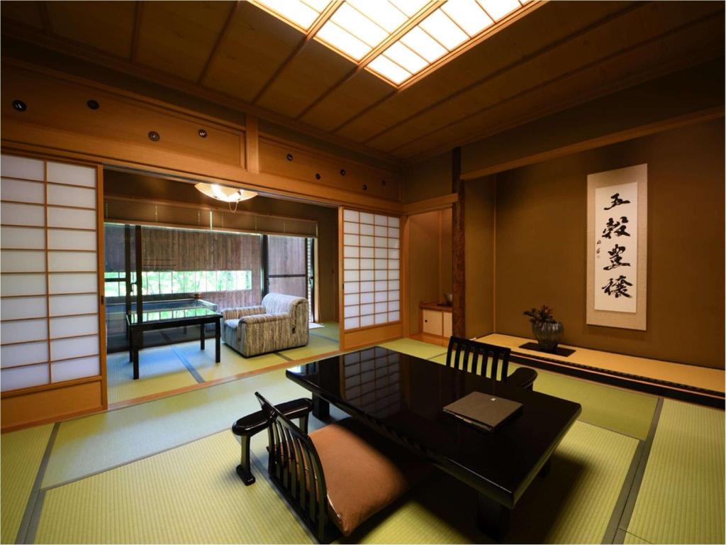
Hotel Inns (48) Luxury Hotels (12) Women Only (1)
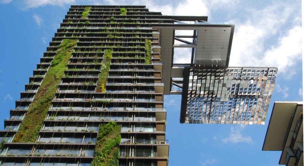
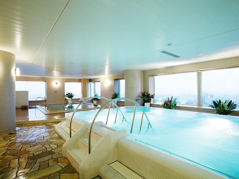
Private Hot Springs (8) Hot Springs (40) Indoor Bath (25) Outdoor Bath (19) Massage (11)

Free Campsites/Camping Areas (1) Paid Campsites/Camping Areas (10)
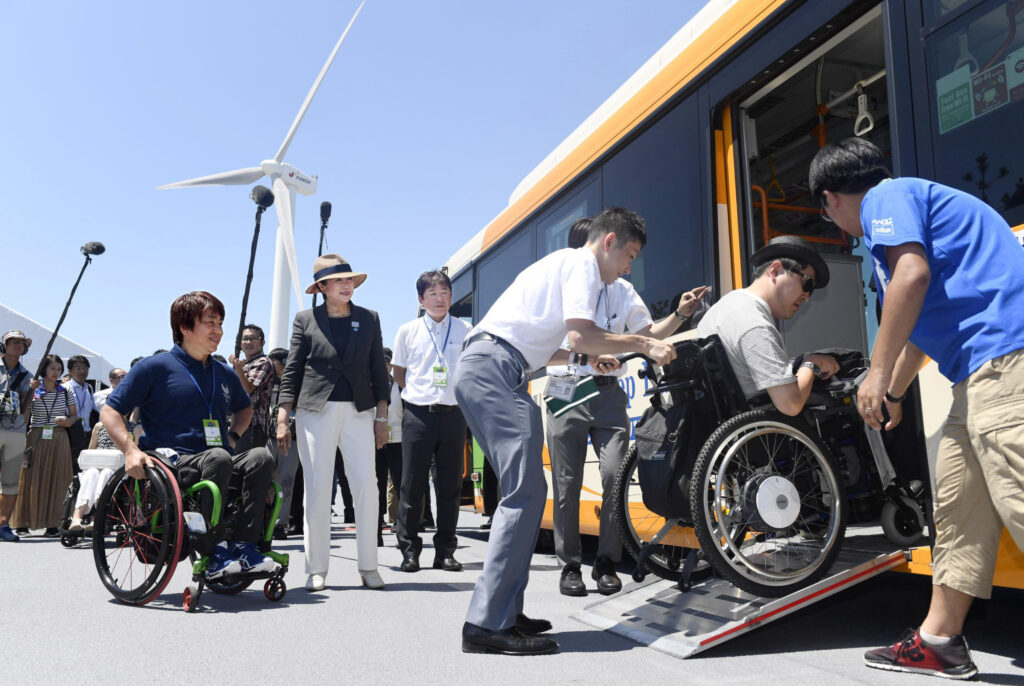
Support (19) Wheelchair Seating (11) English Speaking Staff (24) Hair Salons (4) Legal (5) Medical (8) Pension Plans (1)
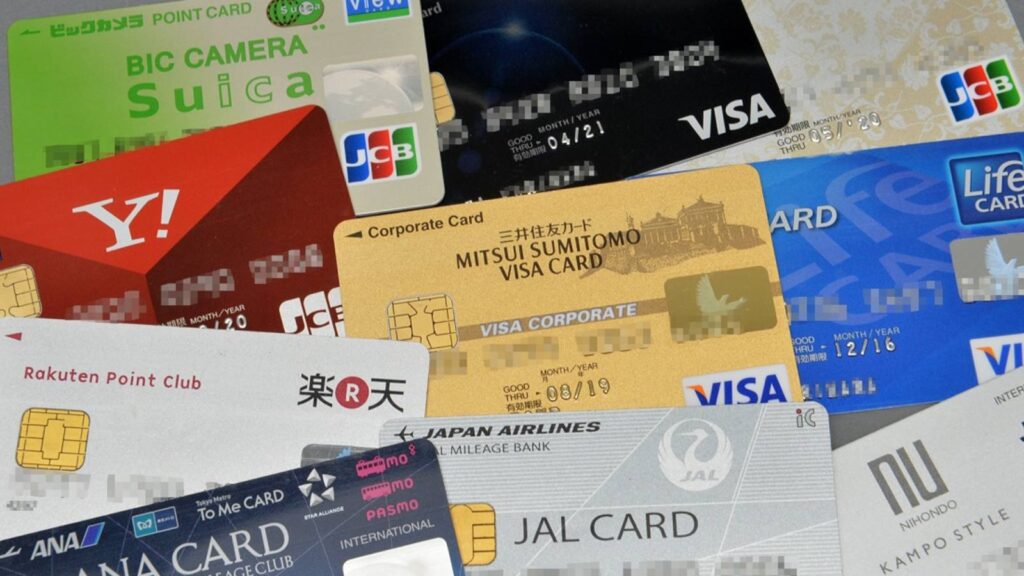
Cash (173) Credit Cards (73) Electronic Money (14) Bank Transfers (1) Cash Only (13) Discounts (12) Free (59)
Airport Bus, Timetable PDF
| From New Chitose Airport |
|---|
| Sapporo Dome, Susukino, Odori Park, Nakajima Park, Sapporo Downtown Hotels, Sapporo Station, Oyachi Subway Sta., Mitsui Outlet Park, Makomanai Subway Sta., APA Hotel & Resort Sapporo, Sumikawa Subway Sta., Maruyama Bus Terminal, Shiroishi Subway Sta., Soen (N9 W14) |
| To New Chitose Airport |
| Sapporo Sta., Sapporo Downtown Hotels, Odori Park, Nakajima Park, Susukino, Sapporo Dome, Oyachi Subway Sta., APA Hotel & Resort Sapporo, Makomanai Subway Sta, Mitsui Outlet Park, Maruyama Bus Terminal, Sumikawa Subway Sta., Soen (N9 W14), Shiroishi Subway Sta. |
Japan's Second Largest Island
Hokkaido is a wonderful place with world-renowned ski resorts and volcanic hot springs. Gourmet food can be found everywhere and there's a vibrant nightlife. Discover Hokkaido's ancient Ainu and Emishi culture as well.
Hokkaido: Annual Weather
August is the hottest month in Hokkaido with an average temperature of 22°C (72°F) but sometimes it gets up to 35 °C (95°F) and it's quite humid. The coldest month is January at -4°C (25°F) with about 7 hours of sunshine daily in June. The temperature can drop down to -15°C (5°F) to -20°C (-4°F) depending on where you go in February. The wettest month is September with average rainfall of 171mm. The best month to swim in the sea is in August when the average sea temperature is 18°C (64°F). The first snow is around the end of October or at the beginning of November.
Annual Weather Averages
| Jan 24 Posts | Feb 26 Posts | Mar 18 Posts | Apr 23 Posts | May 27 Posts | Jun 30 Posts | |
|---|---|---|---|---|---|---|
| °C | -4 | -4 | 1 | 7 | 12 | 16 |
| °F | 25 | 25 | 34 | 45 | 54 | 61 |
| ❄️ | ❄️ | ❄️ |
| Jul 34 Posts | Aug 32 Posts | Sep 20 Posts | Oct 26 Posts | Nov 16 Posts | Dec 19 Posts | |
|---|---|---|---|---|---|---|
| °C | 20 | 22 | 18 | 12 | 5 | -1 |
| °F | 68 | 72 | 64 | 54 | 41 | 30 |
| ⛱️ | ☀️ | 🍂 | 🍂 | ❄️ | ❄️ |
Hokkaido's Historical Population
Year
1890
1903
1920
1930
1940
1950
1960
Pop.
414,430
1,089,503
2,359,183
2,812,335
3,272,718
4,295,567
5,039,206
±% p.a.
—
+7.72%
+4.65%
+1.77%
+1.53%
+2.76%
+1.61%
1970
1980
1990
2000
2010
2015
2020
5,184,287
5,575,989
5,643,647
5,683,062
5,506,419
5,383,579
5,281,297
+0.28%
+0.73%
+0.12%
+0.07%
−0.32%
−0.45%
−0.42%
Source: Statistics Bureau of Japan.
Retrieved December 12th, 2020.
History
Beginning over 15,000 years ago, Jomon culture and the associated hunter-gatherer lifestyle flourished in Hokkaido. Contrasting the Island of Honshu, Hokkaido saw almost an absence of conflict during this time period. Jomon beliefs in natural spirits are theorized to be the origins of Ainu spirituality. Beginning 2,000 years ago, the island shifted towards Yayoi and much of the Island's population shifted away from hunting and gathering and towards agriculture.
The Chronicles of Japan (Nihon Shoki) finished in 720 AD, the second-oldest book of classical Japanese history, is often said to have the first mention of Hokkaido in recorded history. According to the text, Abe no Hirafu led a large navy and army to northern areas of Japan from 658 to 660 and came into contact with the Mishihase and Emishi. One of the places Hirafu went to was called Watarishima (渡島), which is often believed to be present-day Hokkaido. However, many theories exist concerning the details of this event, including the location of Watarishima and the common belief that the Emishi in Watarishima were the ancestors of the present-day Ainu people.
During the Nara and Heian periods (710–1185), people in Hokkaido conducted trade with Dewa Province, an outpost of the Japanese central government. From the Middle Ages, the people in Hokkaido began to be called Ezo. Hokkaido subsequently became known as Ezochi (蝦夷地, lit. "Ezo-land") or Ezogashima (蝦夷ヶ島, lit. "Island of the Ezo"). The Ezo mainly relied upon hunting and fishing and obtained rice and iron through trade with the Japanese.

Palace reception near Hakodate in 1751.
Ainu bringing gifts.
During the Muromachi period (1336–1573), the Japanese created a settlement at the south of the Oshima Peninsula. As more people moved to the settlement to avoid battles, disputes arose between the Japanese and the Ainu. The disputes eventually developed into a war. Takeda Nobuhiro killed the Ainu leader, Koshamain, and defeated the opposition in 1457. Nobuhiro's descendants became the rulers of the Matsumae-han, which was granted exclusive trading rights with the Ainu in the Azuchi-Momoyama and Edo periods (1568–1868). The Matsumae family's economy relied upon trade with the Ainu. They held authority over the south of Ezochi until the end of the Edo period in 1868.
The samurai and the Ainu, c. 1775
The Matsumae clan rule over the Ainu was due to Japanese feudal state expansion. Medieval military leaders in northern Honshū (ex. Northern Fujiwara, Akita clan) maintained only tenuous political and cultural ties to the imperial court and its proxies, the Kamakura Shogunate and Ashikaga Shogunate. Feudal strongmen sometimes located themselves within medieval institutional order, taking shogunal titles, while in other times they assumed titles that seemed to give them a non-Japanese identity. In fact, many of the feudal strongmen were descended from Emishi military leaders that had been assimilated into Japanese society.
The Matsumae Clan
The Matsumae clan was of Yamato descent (ethnic Japanese people), whereas the Emishi of northern Honshu were a group related to the Ainu. The Emishi were conquered and integrated into the Japanese state dating back to about the 8th century, and as result began losing their distinctive culture and ethnicity as they became minorities. By the time the Matsumae clan ruled over the Ainu most of the Emishi were ethnically mixed and physically closer to Japanese than they were to Ainu. This dovetails nicely with the transformation theory that native Jōmon people changed gradually with the infusion of Yayoi immigrants into Tōhoku rather than the replacement theory which posits that one population (Jōmon) was replaced by another (Yayoi).
Matsumae Takahiro, a Matsumae lord:
December 10th, 1829 – June 9th, 1866 (the late Edo period).
There were numerous revolts by the Ainu against the feudal rule. The last large-scale resistance was Shakushain's Revolt in 1669–1672. In 1789, a smaller movement, the Menashi–Kunashir rebellion, was also crushed. After that rebellion, the terms "Japanese" and "Ainu" referred to clearly distinguished groups, and the Matsumae were unequivocally Japanese. In 1799–1821 and 1855–1858, the Edo Shogunate took direct control over Hokkaido in response to a perceived threat from Russia.
Leading up to the Meiji Restoration, the Tokugawa Shogunate realized there was a need to prepare northern defenses against a possible Russian invasion and took over control of most of Ezochi. The Shogunate made the plight of the Ainu slightly easier, but did not change the overall form of rule.
Ezochi
Hokkaido was known as Ezochi until the Meiji Restoration. Shortly after the Boshin War in 1868, a group of Tokugawa loyalists led by Enomoto Takeaki temporarily occupied the island (the polity is commonly but mistakenly known as the Republic of Ezo), but the rebellion was crushed in May 1869. Ezochi was subsequently put under control of Hakodate-fu (箱館府), Hakodate Prefectural Government. When establishing the Development Commission (開拓使, Kaitakushi), the Meiji Government introduced a new name. After 1869, the northern Japanese island was known as Hokkaido; and regional subdivisions were established, including the provinces of Oshima, Shiribeshi, Iburi, Ishikari, Teshio, Kitami, Hidaka, Tokachi, Kushiro, Nemuro and Chishima.
Goryōkaku
The Ainu, Hokkaido's indigenous people
The primary purpose of the development commission was to secure Hokkaido before the Russians extended their control of the Far East beyond Vladivostok. Kuroda Kiyotaka was put in charge of the venture. His first step was to journey to the United States and recruit Horace Capron, President Grant's Commissioner of Agriculture. From 1871 to 1873 Capron bent his efforts to expounding Western agriculture and mining with mixed results. Capron, frustrated with obstacles to his efforts returned home in 1875. In 1876, William S. Clark arrived to found an agricultural college in Sapporo. Although he only remained a year, Clark left a lasting impression on Hokkaido, inspiring the Japanese with his teachings on agriculture as well as Christianity. To this day, public buildings in Hokkaido show his parting words, "Boys, be ambitious!" The population of Hokkaido boomed from 58,000 to 240,000 during that decade.
In 1882, the Development Commission was abolished. Transportation on the island was still underdeveloped, so the prefecture was split into several sub-prefectures (支庁 shichō), namely Hakodate Prefecture (函館県, Hakodate-ken), Sapporo Prefecture (札幌県, Sapporo-ken), and Nemuro Prefecture (根室県, Nemuro-ken), that could fulfill administrative duties of the prefectural government and keep tight control over the developing island. In 1886, the three prefectures were demoted, and Hokkaido was put under the Hokkaido Agency (北海道庁, Hokkaidō-chō). These sub-prefectures still exist today, although they have much less power than they possessed before and during World War II; they now exist primarily to handle paperwork and other bureaucratic functions.
From 1945
In mid-July 1945, the United States Navy's Task Force 38 attacked various shipping ports, cities and military facilities in Hokkaido. On July 14th and 15th that year, aircraft operating from the task force's aircraft carriers sank and damaged a large number of ships in ports along Hokkaido's southern coastline as well as in northern Honshu.
On July 15th, three battleships and two light cruisers bombarded the city of Muroran. Before the Japanese surrender was formalized, the Soviet Union made preparations for an invasion of Hokkaido, but President Harry Truman made it clear that the surrender of all of the Japanese home islands would be carried out by General MacArthur per the 1943 Cairo Declaration.
From 1947
In 1947, the revised Local Autonomy Law became effective, and Hokkaido became equal to other prefectures. Then the Japanese central government established the Hokkaido Development Agency (北海道開発庁, Hokkaidō Kaihatsuchō) as an agency of the Prime Minister's Office in 1949 to maintain its executive power in Hokkaido. In 2001, the Ministry of Land, Infrastructure and Transport absorbed the Agency. The Hokkaido Bureau (北海道局, Hokkaidō-kyoku) and the Hokkaido Regional Development Bureau (北海道開発局, Hokkaidō Kaihatsukyoku) of the Ministry still have a strong influence on public construction projects in Hokkaido.
Source: Wikipedia.
Retrieved December 12th, 2020.
#explorehokkaido #tourguide #adventure #hokkaidotravelguide #mustgospots #touristattractions #holidays #hellohokkaido #bestthingstodo
The Meanings of Ainu Motifs
Ainu Embroidery and Wood Carving
Moreu:
Moreu consists of two words, Mo and Reu. Mo means slowly and Reu means to turn. This motif symbolizes strength or power so people should find them in the middle of designs.
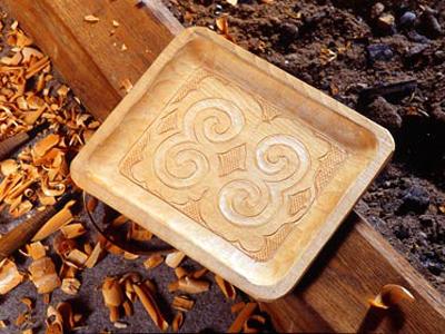
It's the whorl (a pattern of spirals or concentric circles) or a curve. It whirls and takes a life drifting in the world inside it.
Ayusi:
Ay means arrow, and Usi means to stab. These are the symbol of prickles such as the ones found fields or brambles. This motif is expected to be a talisman by connoting thorns inside.
Sik (or Siki)
This word means eyes, yet the motif looks like stars. So this design means to watch affectionately like a star.
Kirau
It a point meaning horn. A life is taken in with Moreu, then bad things are also taken in. Illness, injury, and bad feelings/thoughts. Kirau keeps the demons that are trying to get in to your life away.
In some regions, it's called Aiusi (thorn).
Utasa
Tasa means cross, and U means each other. It is an intersection of lines. It mean the solidarity of a friend.
Kirau, Moreu and Utasa are complicated.
There is a Kirau on the point of Moreu, and plural Moreus are connected by a Utasa. It might be a characteristic of Ainu patterns (Ainu siriki).
You won't find many Kirau motifs in the Karafuto district (Sakhalin) though.


 掲載内容に誤りや修正が必要な箇所があれば、
 English >
What 2 People Are Saying About The Post "Hokkaido A4JP Travel Guide | Places to go in Hokkaido – Information & Travel Website"